Randonnée Marche La Loubière - Lioujas - Photo
 Lacaze
Lacaze

Utilisateur

© OpenStreetMap contributors
Longueur
Longueur
8,1 km
Altitude max
Altitude max
644 m
Dénivelé positif
Dénivelé positif
127 m
Km-Effort
Km-Effort  
9,8 km
Altitude min
Altitude min
559 m
Dénivelé négatif
Dénivelé négatif
130 m
Boucle
Boucle
Oui
Date de création :
2014-12-10 00:00:00.0
Dernière modification :
2014-12-10 00:00:00.0

(0 Avis)

Marche
Marche
5m
Difficulté : Inconnu

Scannez ce code QR pour ouvrir la randonnée dans l'application SityTrail

Application GPS de randonnée GRATUITE

Logo SityTrail SityTrail

IGN / Instituts géographiques

Télécharger SityTrail sur l'App Store Télécharger SityTrail sur Google Play

Logo SityTrail SityTrail World

Le monde est à vous

Télécharger SityTrail sur l'App Store Télécharger SityTrail sur Google Play Télécharger SityTrail sur Huawei AppGallery

À propos

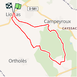
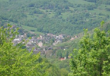
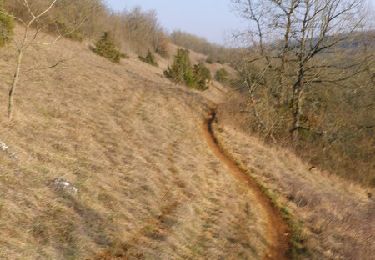
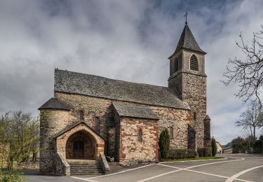
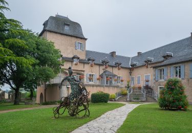
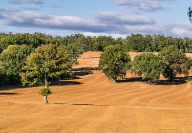
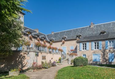
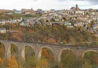
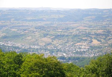
Randonnée Marche de 8,1 km à découvrir à Occitanie, Aveyron, La Loubière. Cette randonnée est proposée par Lacaze.

Profil altimétrique

Localisation

Pays :
France
Région :
Occitanie
Département/Province :
Aveyron
Commune :
La Loubière
Localité :
Unknown
Départ:(Dec)
Départ:(UTM)
470601 ; 4917097 (31T) N.

Randonnées à proximité

Randonnée V.T.T. Onet-le-Château - Randonnée VTT boucle d'Onet le Château à Macillac - Photo
V.T.T.
tracegps

V.T.T.

Difficile
(1)
Onet-le-Château, Occitanie, Aveyron, France
39 km | 51 km-effort
5h 40min
Oui
Randonnée V.T.T. Onet-le-Château - Onet - Mondalazac - Onet - Photo
V.T.T.
tracegps

V.T.T.

Difficile
(2)
Onet-le-Château, Occitanie, Aveyron, France
45 km | 52 km-effort
4h 0min
Non
Randonnée A pied Onet-le-Château - Circuit 16 Moulin de cantarane - Photo
A pied
PRO

A pied

Facile
Onet-le-Château, Occitanie, Aveyron, France
6,3 km | 8 km-effort
1h 48min
Oui
Randonnée A pied Sébazac-Concourès - Circuit 18 Nord de Sébazac - Photo
A pied
PRO

A pied

Facile
Sébazac-Concourès, Occitanie, Aveyron, France
3,2 km | 3,7 km-effort
50min
Non
Randonnée A pied Sébazac-Concourès - Circuit 17 Concourès - Photo
A pied
PRO

A pied

Facile
Sébazac-Concourès, Occitanie, Aveyron, France
9 km | 10,6 km-effort
2h 24min
Oui
Randonnée Marche Sébazac-Concourès - lo camin polida vista - Photo
Marche
Lacaze

Marche

Facile
(1)
Sébazac-Concourès, Occitanie, Aveyron, France
8,5 km | 9,6 km-effort
3h 0min
Oui
Randonnée A pied Sébazac-Concourès - Lo Cami de la Font - Photo
A pied
PRO

A pied

Facile
Sébazac-Concourès, Occitanie, Aveyron, France
5,9 km | 6,6 km-effort
1h 29min
Non
Randonnée Vélo Onet-le-Château - En Causse Comtal, aux portes de Rodez - Photo
Vélo
tracegps

Vélo

Difficile
Onet-le-Château, Occitanie, Aveyron, France
71 km | 86 km-effort
4h 30min
Oui
Randonnée V.T.T. Onet-le-Château - Onet - Espalion via Roquelaure - Photo
V.T.T.
tracegps

V.T.T.

Difficile
Onet-le-Château, Occitanie, Aveyron, France
60 km | 73 km-effort
8h 10min
Non


Fermer
Mes abonnements